
While drones and construction may seem an unlikely pairing, they are now reshaping the industry. From rapid site surveys to precise earthwork monitoring, these agile aircraft provide data that speeds delivery and elevates safety.
Whether you’re a drone pilot, architect, or project manager, grasping how drones enhance construction workflows is essential. Below, we unpack the key types, advantages, and practical uses of construction‑focused UAVs.
What Types of Drones Are Used in Construction?
Construction sites demand robust, data‑rich aircraft—not the off‑the‑shelf consumer models. Generally, the fleet splits into two categories: multirotor drones and fixed‑wing drones.
Multirotor drones—the familiar quadcopters—excel at hovering, capturing high‑resolution imagery in confined spaces like rooftops or scaffolding. They’re ideal for close‑up inspections, progress documentation, and high‑risk reach‑around tasks.
Fixed‑wing drones operate like miniature aircraft, covering large swaths of terrain quickly. Their extended flight time and efficient power consumption make them suitable for highways, industrial parks, and expansive housing developments.
Most construction firms equip their UAVs with advanced sensors. LiDAR systems generate detailed 3‑D point clouds that reveal topography before excavation, while RGB cameras provide vivid visual records of progress.
Key Benefits of Drone Projects in Construction
Enhanced Safety
By allowing crews to assess high‑risks areas from the air, drones reduce the need for personnel to scale dangerous heights or navigate hazardous conditions, dramatically cutting on‑site accidents.
Time‑to‑Market Savings
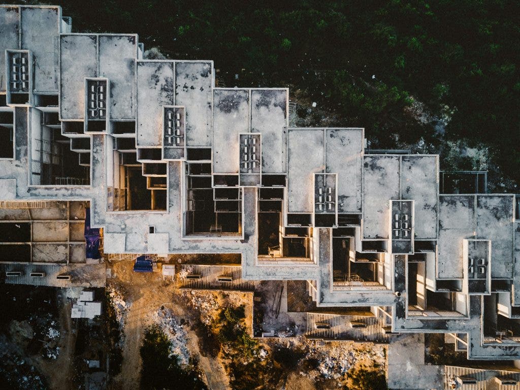
Traditional surveys could span days or weeks. A single drone flight can capture an entire site in hours, delivering images, measurements, and heat maps in near real‑time. Rapid data turnaround means decisions are made faster, keeping projects on schedule.
Cost Efficiency
Replacing manual survey crews or heavy equipment with UAVs slashes labor and equipment rentals. The reduction in risk also lowers insurance and liability expenses.
Unparalleled Accuracy
High‑end sensors map every square foot, spotting discrepancies before they become costly problems. Accurate data leads to fewer re‑works and smoother project execution.
Understanding Earthwork Reporting
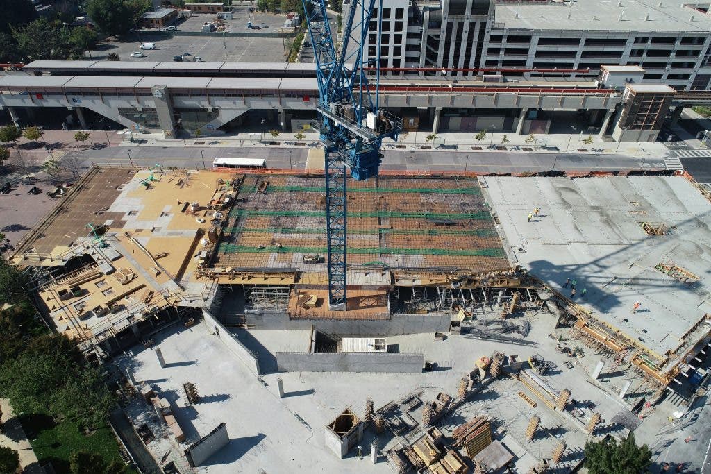
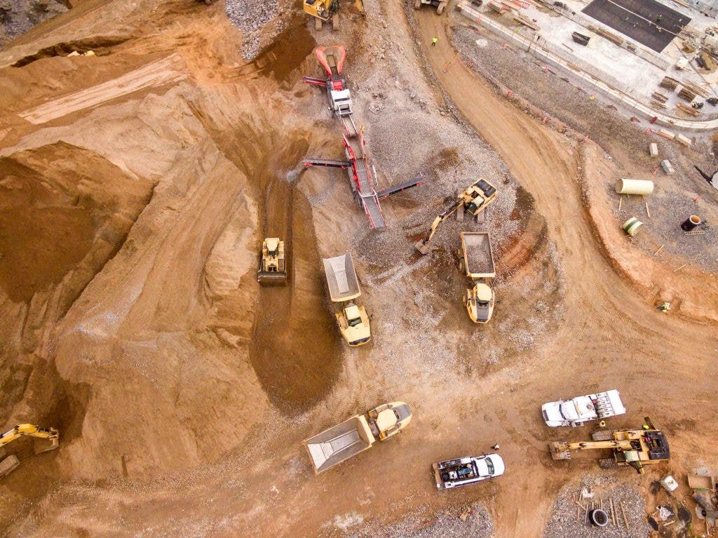
Earthwork reporting tracks the volume of material moved—digging, grading, and fill. Drones, combined with 3‑D mapping software, calculate these volumes with high precision, enabling precise planning and compliance with design specifications.
Site Surveys Made Easy with UAVs
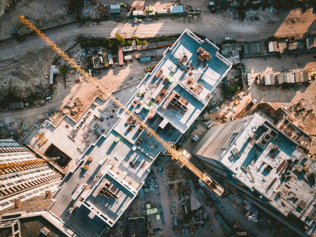
Early‑project site surveys traditionally involved manual measurements and time‑consuming labor. Drones now produce topographic maps that capture land contours and natural features, guiding foundation placement, road alignment, and utility routing.
Frequently Asked Questions
Are drones legally allowed in construction?
Yes. Compliance with local aviation authorities—such as the U.S. FAA—requires Part 107 certification for pilots and adherence to safety standards for the aircraft.
How often should drones be used on a construction site?
Frequency depends on project scale: large sites may call for daily flights, while smaller projects benefit from weekly or phase‑specific surveys.
Can drones replace human surveyors?
Not entirely. Human expertise remains essential for data interpretation, verification, and handling complex on‑site decisions.
What is the typical range of a construction drone?
Most UAVs operate up to 5 miles, though the exact range varies by model and payload.
What software processes drone data?
Leading platforms include Pix4D, DroneDeploy, and AutoCAD Civil 3D, which deliver mapping, 3‑D modeling, and earthwork reporting.
Why Drones Are a Long‑Needed Solution
Beyond capturing images, drones provide actionable insights that save time, reduce costs, and enhance safety. Whether you’re documenting progress or monitoring earthwork, UAVs deliver a fresh, data‑driven perspective to age‑old construction challenges.

Thierry Jose
Thierry is a writer, content coordinator, and journalist who explores the world through words. She thrives on learning, competing, and publishing, and enjoys painting and classic films in her downtime.