
Surveying has evolved dramatically. From theodolites and measuring tapes to advanced unmanned aerial vehicles (UAVs), the technology that drives precision mapping has transformed. This guide explains how drones transform fieldwork, enhance accuracy, and unlock new possibilities across industries.
What features should I look for in a surveying drone?
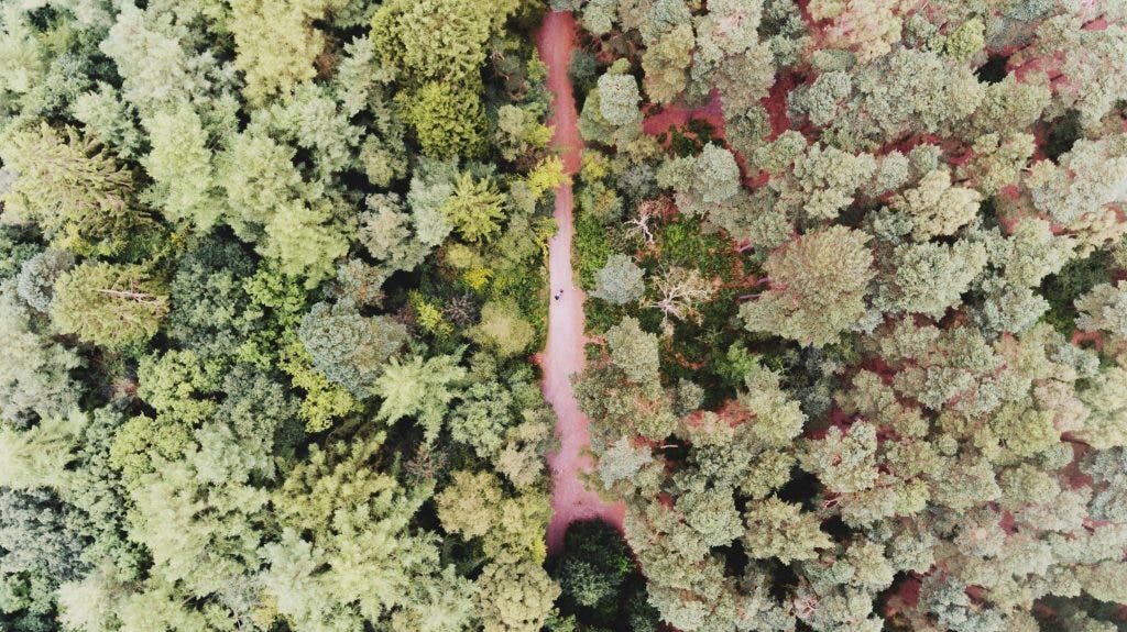
Photo by Rog Shafi on Unsplash
Overlaying GPS data
Traditionally, mapping a 50‑acre parcel meant walking every inch, navigating uneven terrain, and sometimes confronting wildlife. Drones change that equation by offering an aerial perspective that captures entire areas in a single flight, revealing patterns invisible from the ground.
But the true accuracy boost comes from integrating GPS data with high‑resolution imagery. The result is precise orthomosaics, digital elevation models, and 3‑D reconstructions that are essential for engineering, construction, and environmental monitoring. Drones also provide critical data in hazardous environments where ground crews cannot safely operate.
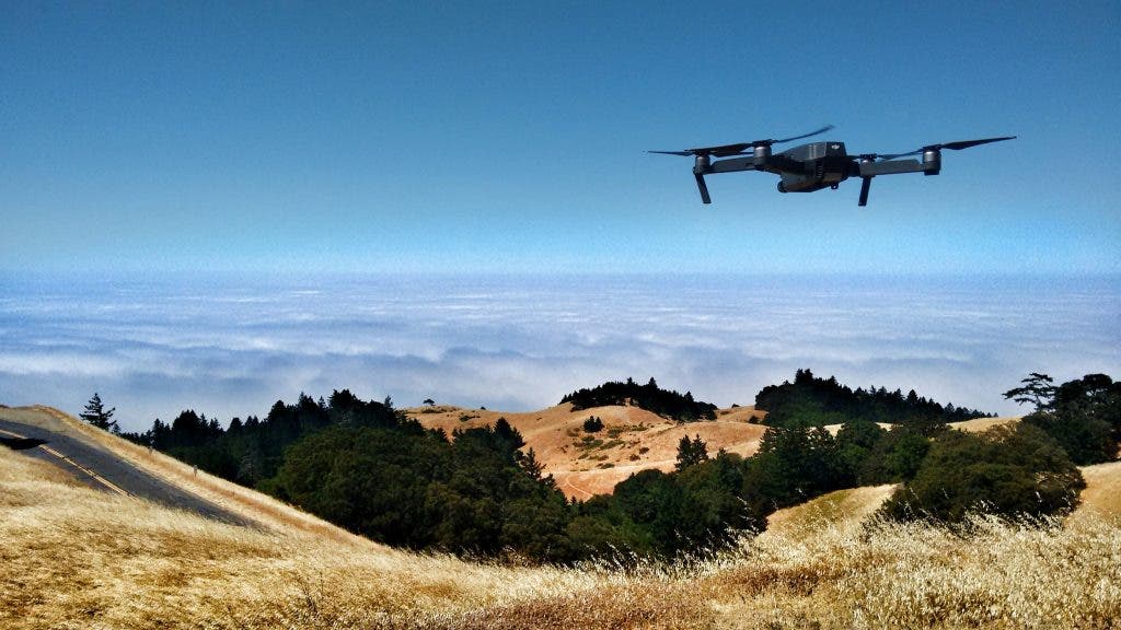
Photo by Ian Usher on Unsplash
High‑resolution, smart surveying
Modern UAVs are equipped with 20‑MP sensors and 4K video capabilities, making them ideal for photogrammetry. Overlapping images stitch into detailed orthomosaics, revealing cracks, contours, and subtle changes in the terrain.
Whether inspecting bridge joints, monitoring construction progress, or assessing crop health with multispectral sensors, high‑resolution imaging delivers data‑rich outputs—orthomosaics, DEMs, and 3‑D models—that inform decision‑making.
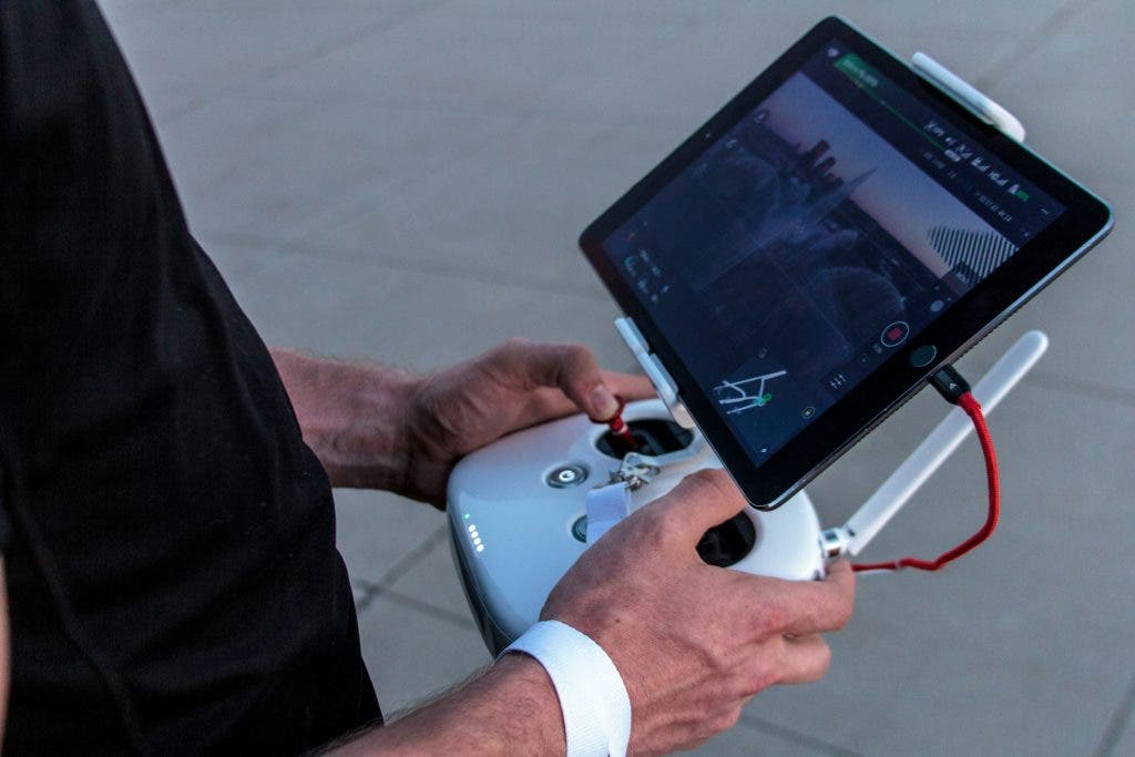
Photo by Ian Baldwin on Unsplash
Access to hard‑to‑reach areas
Traditional methods often require climbing gear, scaffolding, or heavy machinery. UAVs, however, can navigate tight spaces, hover over unstable ground, and enter confined zones with ease, extending survey coverage to otherwise inaccessible sites.
Industries such as mining, disaster response, and infrastructure inspection benefit from drones that detect subsurface anomalies, map heat signatures with thermal cameras, or use LiDAR to assess structural integrity—all without risking human safety.
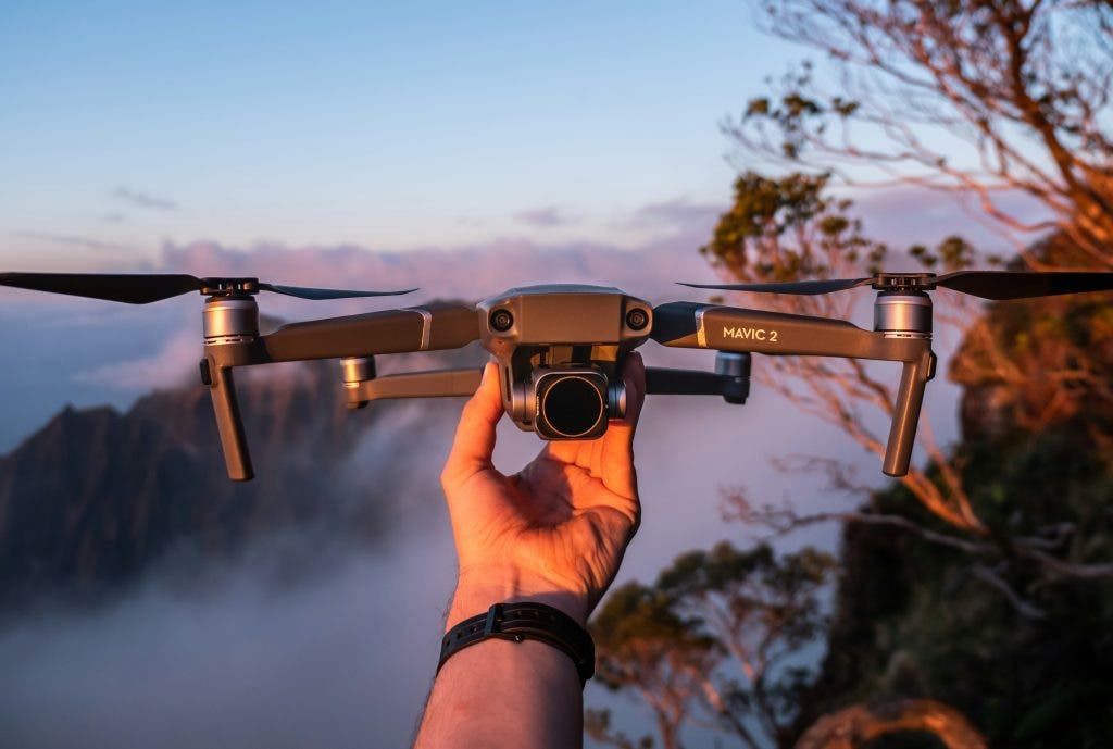
Photo by Tyler Casey
What are the best drones for surveying land?
In 2024, a handful of models stand out for their performance, imaging quality, and robustness.
Autel Robotics Evo II V3 Dual 640T RTK
The Evo II features a Sony 1‑inch CMOS sensor that captures 6K video and 20‑MP stills. Adjustable aperture and high ISO settings enable clear imagery even at dusk.
With a 40‑minute flight time, 9‑km range (thanks to anti‑interference technology), and a top speed of 55 mph, the drone covers large areas quickly. Integrated 360° obstacle avoidance adds safety and ease of operation.
Skydio 2+
Skydio 2+ excels in autonomous flight thanks to six 4K navigation cameras that provide full‑range obstacle detection. Its 12.3‑MP 4K HDR camera delivers cinematic quality footage.
The 27‑minute battery life, magnetic mount, and 6‑km operational range make it ideal for mid‑sized survey projects where precision and safety are paramount.
Parrot ANAFI Ai Drone
The ANAFI Ai boasts a 48‑MP Quad Bayer sensor and HDR10 imaging, producing crisp maps and 3‑D models. Its 4G connectivity keeps the drone in contact even in areas with weak Wi‑Fi.
Features include autonomous photogrammetry, intelligent obstacle avoidance, and an open‑source SDK that lets users program custom flight plans. The lightweight, weather‑proof chassis ensures reliability in challenging environments.
What regulations apply to surveying with drones?
Before launching, operators must understand the legal framework governing UAVs. Regulations vary by country but share common requirements.
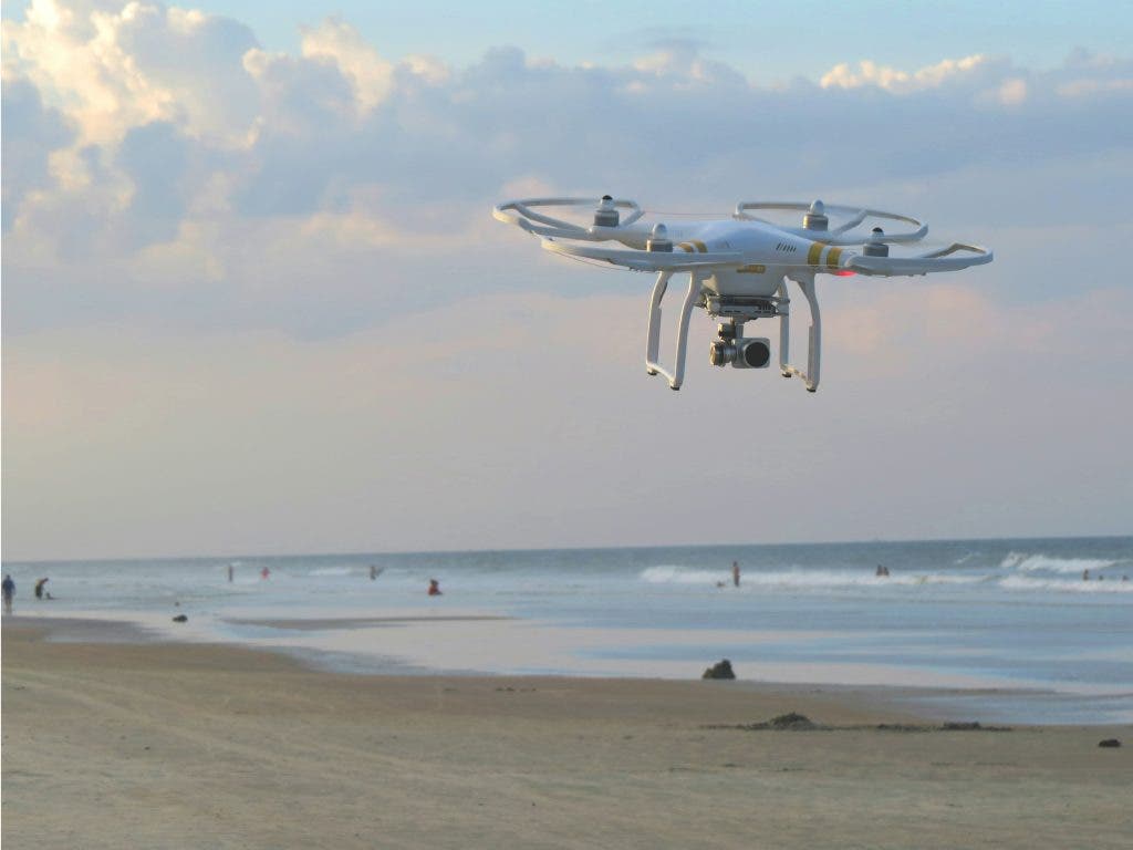
Photo by Matt Pritchard on Unsplash
Licensing requirements
Most jurisdictions require a Remote Pilot Certificate. In the U.S., this involves passing the FAA Part 107 exam, covering airspace rules, weather, and operational safety. In Europe, EASA mandates similar certifications, tailored to drone size and purpose.
Certification programs, practice tests, and online courses simplify the process, giving operators the confidence to operate within the legal airspace.

Photo by Nick Stephenson on Unsplash
No‑fly zones
No‑fly zones include airports, government facilities, and often national parks. They exist to protect aviation safety and sensitive installations.
In the U.S., apps such as B4UFLY and AirMap provide up‑to‑date geofencing data. European operators can use equivalent tools. Flights near restricted areas usually require a waiver or special authorization, often coordinated with air traffic control.
Temporary restrictions—wildfires, parades, or high‑profile events—can also create pop‑up no‑fly zones. Staying informed about local events prevents accidental violations.
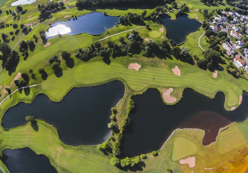
Photo by Adrienguh on Unsplash
Height and range limits
Most countries cap drone altitude at 400 ft above ground level to avoid interference with manned aircraft. Exceeding this limit requires special authorization and is rare.
Range limits often enforce visual line‑of‑sight (VLOS) operation. Even high‑range drones must remain within sight, ensuring the pilot retains control and situational awareness.
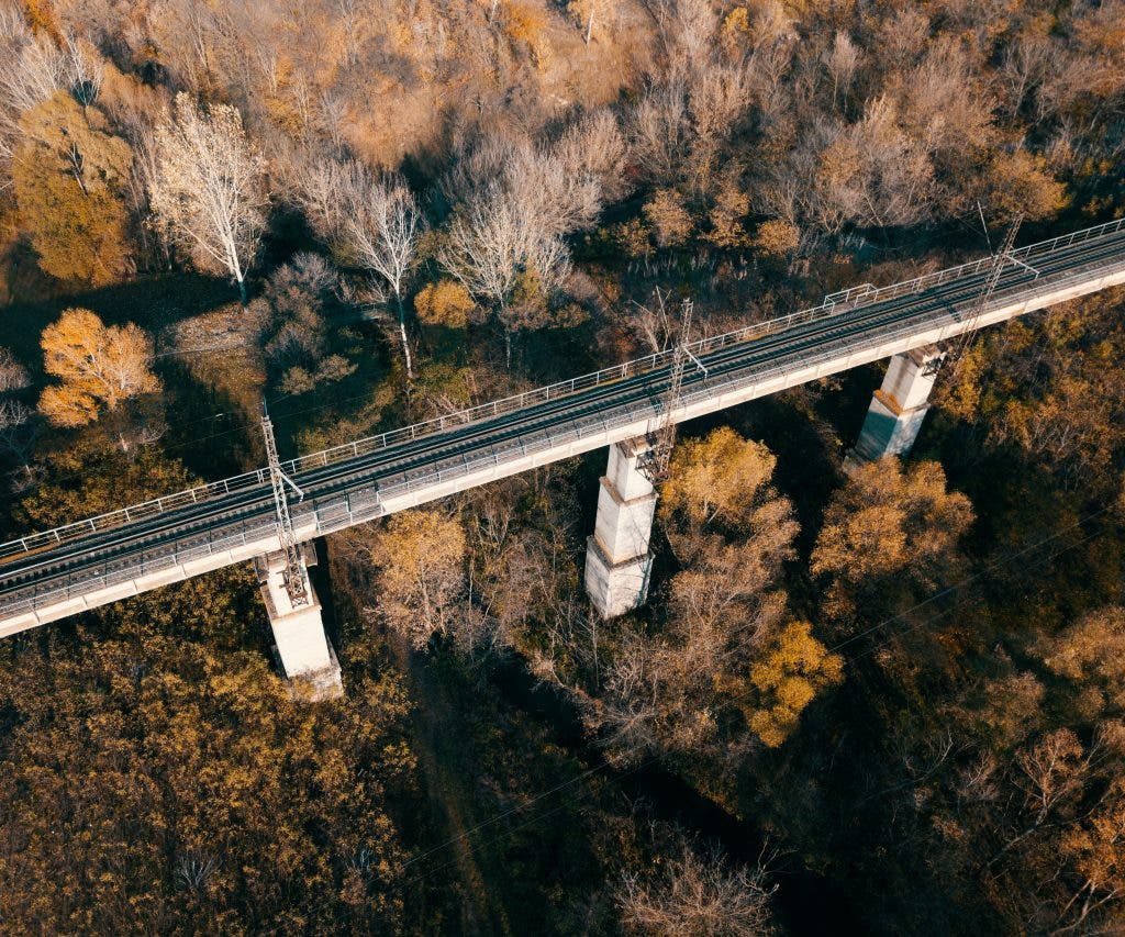
Photo by Anton Sharov on Unsplash
The future of surveying with drones
As UAV technology advances, autonomous surveys will deliver even greater precision. AI, machine learning, and next‑generation sensors are moving us toward fully automated mapping workflows that can reduce human error and accelerate project timelines.
2024 marks a pivotal moment for surveying professionals. Embracing drone technology today positions you at the forefront of innovation, unlocking new efficiencies and unlocking insights that shape the built environment.